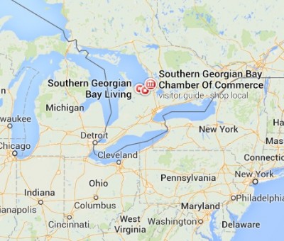
Details are just emerging about a tornado that touched down near Angus, Ontario Canada. Cops reporting cell phone service is currently down.
Heavy damage reported. Fires burning. EMTs requested. Authorities on the lookout for walking wounded.
|
Advertisement |
Locations: Newmarket – Georgina – Northern York Region; Uxbridge – Beaverton – Northern Durham Region; Orillia – Lagoon City – Washago; Orangeville – Grand Valley – Southern Dufferin County; Shelburne – Mansfield – Northern Dufferin County; Listowel – Milverton – Northern Perth County; Caledon; Innisfil – New Tecumseth – Angus; Mount Forest – Arthur – Northern Wellington County; Guelph – Erin – Southern Wellington County
LIVE STREAM POLICE RESCUE SCANNER
DEVELOPING.
A line of severe thunderstorms with several embedded tornadoes is located from Brussels to southern Lake Simcoe. Individual thunderstorms are moving east at 80 km/h with the line slowing sinking southeast at 30 km/h. Wind gusts over 100 km/h and large hail are likely.
Updated or ended by 6:30 p.m. EDT.
A line of severe thunderstorms with several embedded tornadoes is located from Brussels to southern Lake Simcoe. Individual thunderstorms are moving east at 80 km/h with the line slowing sinking southeast at 30 km/h. Wind gusts over 100 km/h and large hail are likely.


