

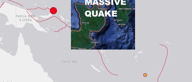
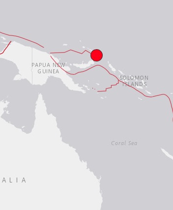
PAPUA, NEW GUINEA. (THECOUNT) — A massive magnitude 7.7 earthquake has reportedly struck Monday morning in East New Britain, Papua New Guinea.
The preliminary magnitude 7.7 has potential to generate a tsunami.
|
Advertisement |
DEVELOPING:
Nearby Places:
Kokopo, East New Britain, Papua New Guinea
44.2 km (27.5 mi) SW Population: 26273
Kavieng, New Ireland, Papua New Guinea
258.2 km (160.4 mi) NW Population: 14490
Kimbe, West New Britain, Papua New Guinea
314.9 km (195.7 mi) WSW Population: 18847
Arawa, Bougainville, Papua New Guinea
408.4 km (253.8 mi) SE Population: 40266
Lae, Morobe, Papua New Guinea
684.3 km (425.2 mi) WSW Population: 76255
Tectonic Summary:
Seismotectonics of the New Guinea Region and Vicinity
The Australia-Pacific plate boundary is over 4000 km long on the northern margin, from the Sunda (Java) trench in the west to the Solomon Islands in the east. The eastern section is over 2300 km long, extending west from northeast of the Australian continent and the Coral Sea until it intersects the east coast of Papua New Guinea. The boundary is dominated by the general northward subduction of the Australia plate.
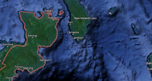
Geo quick facts: East New Britain is a province of Papua New Guinea, consisting of the north-eastern part of the island of New Britain and the Duke of York Islands. The capital of the province is Kokopo, not far from the old capital of Rabaul, which was largely destroyed in a volcanic eruption in 1994 – Wikipedia.