


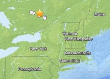
SOUTHERN ONTARIO, CANADA AREA.
|
Advertisement |
Event Time
2013-05-17 13:43:22 UTC
2013-05-17 09:43:22 UTC-04:00 at epicenter
2013-05-17 06:43:22 UTC-07:00 system time
Location
45.819°N 76.377°W depth=5.0km (3.1mi)
Nearby Cities
25km (16mi) NNE of Shawville, Canada
57km (35mi) E of Pembroke, Canada
64km (40mi) NW of Gatineau, Canada
69km (43mi) NW of Ottawa, Canada
74km (46mi) E of Petawawa, Canada
People in the large Western Quebec seismic zone have felt small earthquakes and suffered damage from larger ones for three centuries. The two largest damaging earthquakes occurred in 1935 (magnitude 6.1) at the northwestern end of the seismic zone, and in 1732 (magnitude 6.2) 450 km (280 mi) away at the southeastern end of the zone where it caused significant damage in Montreal. Earthquakes cause damage in the zone about once a decade. Smaller earthquakes are felt three or four times a year.
Earthquakes east of the Rocky Mountains, although less frequent than in the west, are typically felt over a much broader region. East of the Rockies, an earthquake can be felt over an area as much as ten times larger than a similar magnitude earthquake on the west coast. A magnitude 4.0 eastern earthquake typically can be felt at many places as far as 100 km (60 mi) from where it occurred, and it infrequently causes damage near its source. A magnitude 5.5 eastern earthquake usually can be felt as far as 500 km (300 mi) from where it occurred, and sometimes causes damage as far away as 40 km (25 mi). Source.